
On site before people can get there

Where constant monitoring and rapid response are needed, the Station flies in first, in place of people.

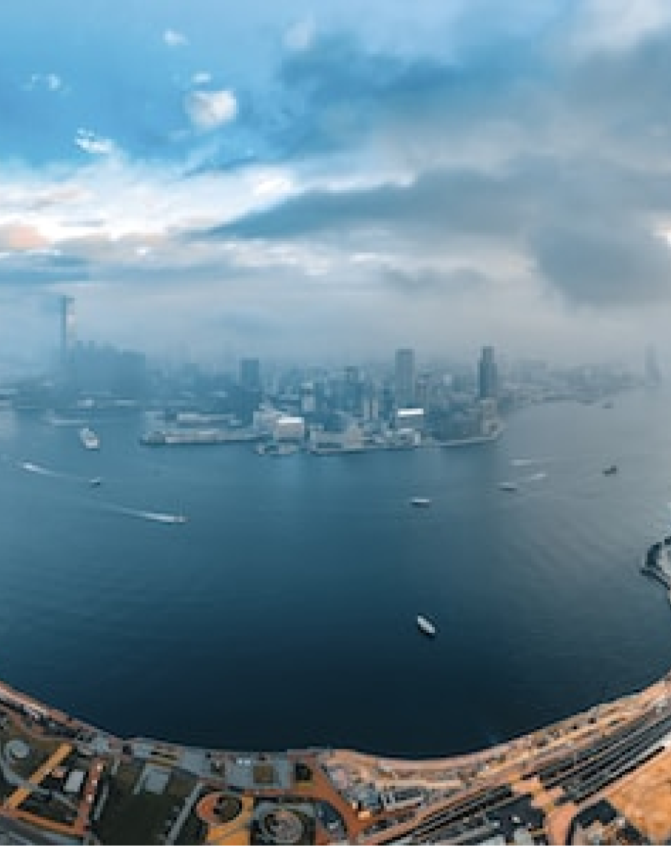
Aerial photo of a coastal city under clouds

Disaster response

Challenge
Floods, landslides and fires are dangerous to approach, and early situational awareness is often delayed.
How FlySpot helps
A vehicle-mounted mobile Station deploys immediately, and the situation room assesses the damage from live video.
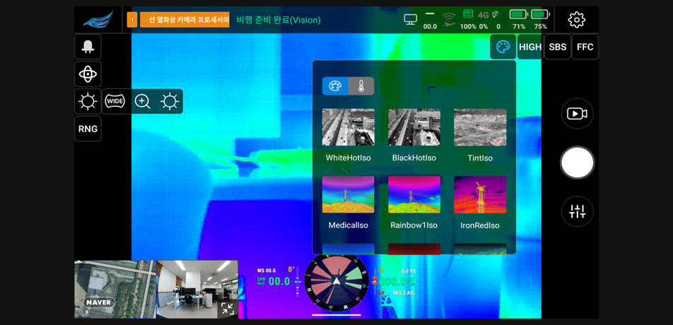
Site view from a drone thermal camera

Wildfire monitoring

Challenge
Large forests are hard to patrol constantly, and early detection of ignition is critical.
How FlySpot helps
Fixed Stations at key sites patrol automatically on schedule and check for anomalies with thermal video.
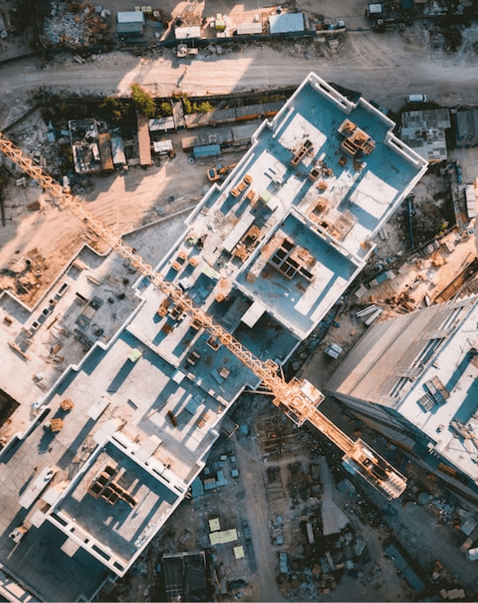
Aerial view of a building under construction

Facility inspection

Challenge
Inspecting bridges, dams and power lines is repetitive and involves risky work at height.
How FlySpot helps
Automated flights capture the same route periodically, and orthomosaics and panoramas show changes over time.
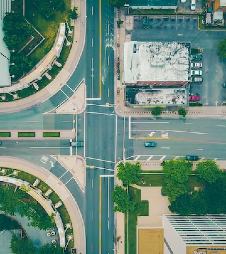
Aerial view of a downtown intersection

Urban safety

Challenge
Events, traffic and public safety situations must be assessed quickly over a wide area.
How FlySpot helps
Downtown Stations dispatch on request, and multiple feeds appear at once on the large screens of the integrated control center.
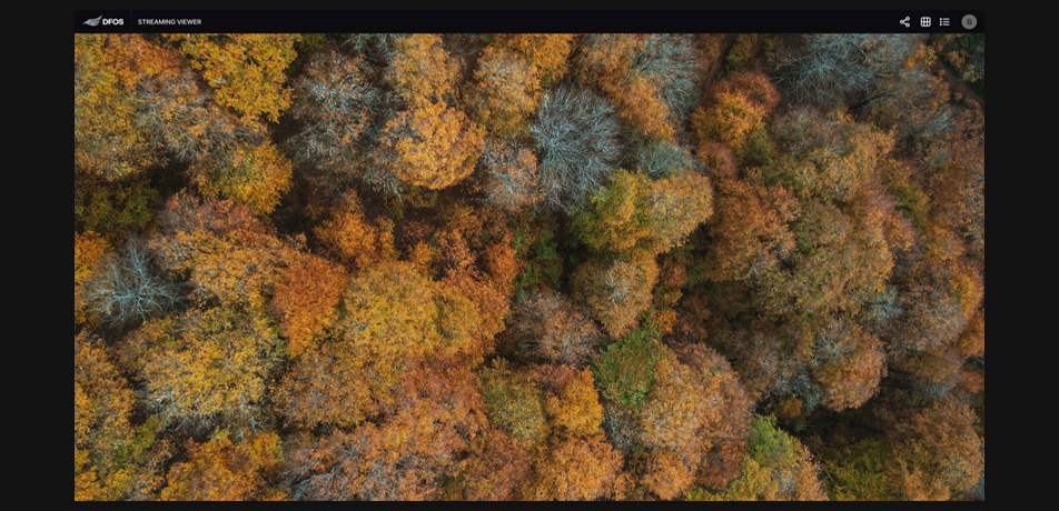
Aerial view of a forest in autumn colors

Forest management

Challenge
Pests, logging and forest change must be recorded and managed over large areas.
How FlySpot helps
Scheduled imagery becomes orthomosaics in IMS, and field surveys are supplemented with the Pilot app.

Which of these fits your site?

Tell us about your site conditions, and we will propose the right configuration.