
FlySpot Pilot
An app for controlling photo and video capture and automated mission flights at sites without a station.
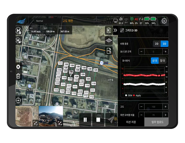
What you need to fly on site
Built on years of drone operations so pilots can easily see and act on the information they need.
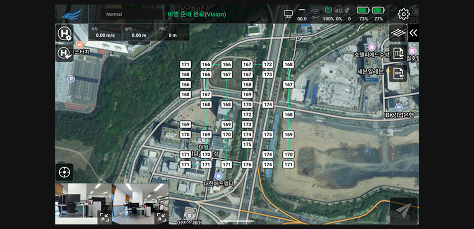
3D terrain-following flight
Uses Korean DEM data to follow the terrain and fly missions safely and precisely at a constant height.
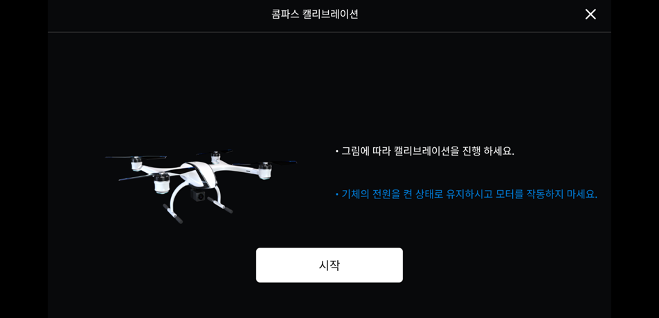
IMU and compass calibration
Calibrate in the app and check drone status before takeoff to confirm it is ready to fly.
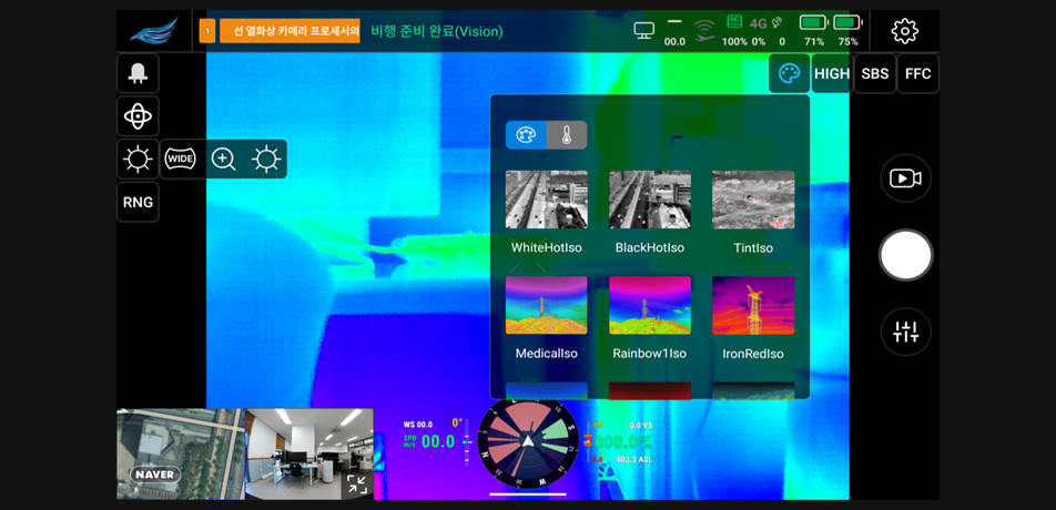
Thermal imaging
See and record heat distribution with a drone-mounted thermal camera.
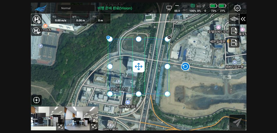
Many mission types
Create and fly WayPoint, Panorama, Grid and Polygon interval missions right in the app.
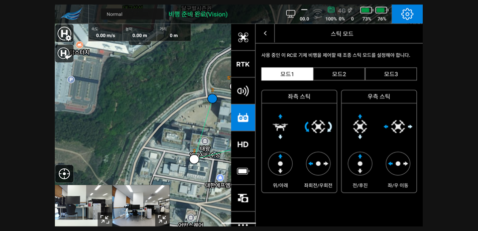
Aircraft settings
Configure photo and video, flight, visual navigation, remote controller, battery, gimbal and RTK in one place.
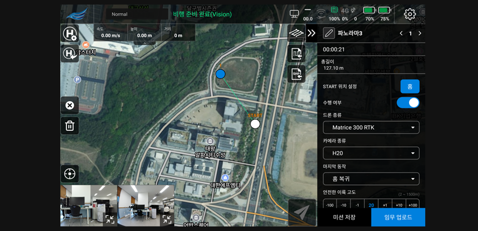
Camera capture
Supports auto and manual shooting modes and 360° panorama capture.
Supported equipment and missions
Runs on major DJI industrial aircraft. Please confirm supported aircraft during consultation.
Supported equipment
- DJI Matrice 300 and 400 Series
- DJI Matrice 30, 3 and 4 Series
- DJI Mavic 3 Series
Missions
- WayPoint missions
- Panorama missions
- Grid and Polygon time-interval missions
- Grid and Polygon distance-interval missions
Base maps and messaging
- Google and NAVER standard and satellite maps
- Messaging with the Control System
With the Station
 With the Station
Where there is no Station, fly with Pilot and view the results in the same control and data screens as the Station.
Other solutions
FlySpot Station
A drone station that dispatches with no one on site
ControlFlySpot Control System
Control multiple drones from one screen
DataFlySpot IMS
Large drone imagery, from upload to analysis
DataFlySpot Panorama
Record sites as they are in 360° panoramas
ControlFlySpot Streaming Viewer
A multi-viewer for live video from many sites
ControlFlySpot Weather
Drone weather and go/no-go flight decisions