



Fixed
Installed permanently on a rooftop or facility site for scheduled, recurring inspection and monitoring.
Wildfire monitoring, facility inspection, urban safety
Deployed as a fixed or mobile unit, it lets the drone launch on its own, return and recharge in any situation.
Use the fixed type for regular operations in a set area, and the mobile type where mobility and rapid deployment matter.
Installed permanently on a rooftop or facility site for scheduled, recurring inspection and monitoring.
Wildfire monitoring, facility inspection, urban safety
Carried by vehicle to where it is needed and launched on arrival. Suited to unpredictable incidents.
Disaster response, accident sites, temporary events
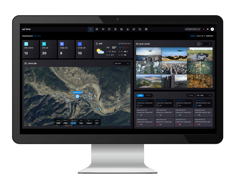
From the dashboard to missions, remote control and statistics, one system covers everything you need to run the Station.
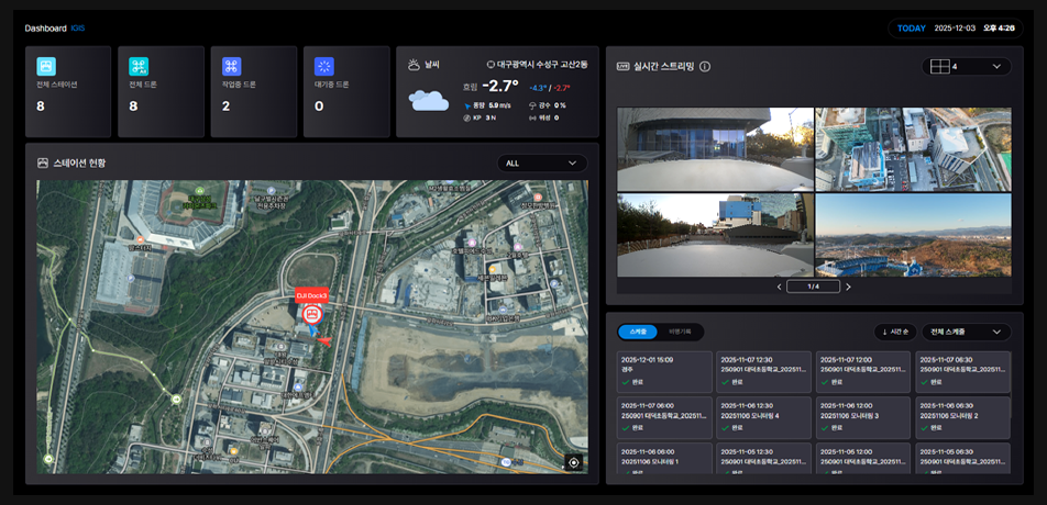
See the status of all stations and drones on one screen.
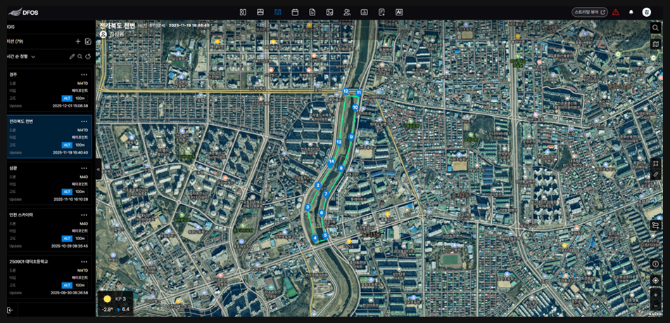
Register inspection routes and schedules, and the drone launches automatically on time.
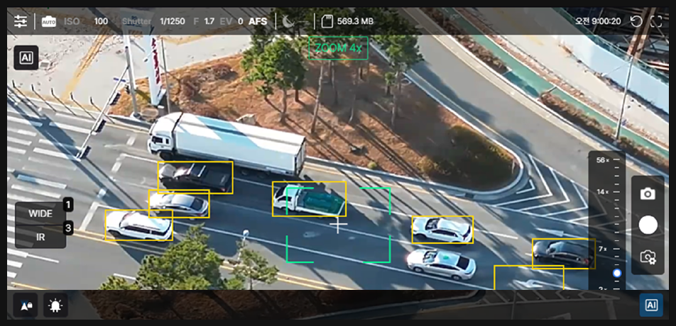
Operate the camera and gimbal directly from the control room.
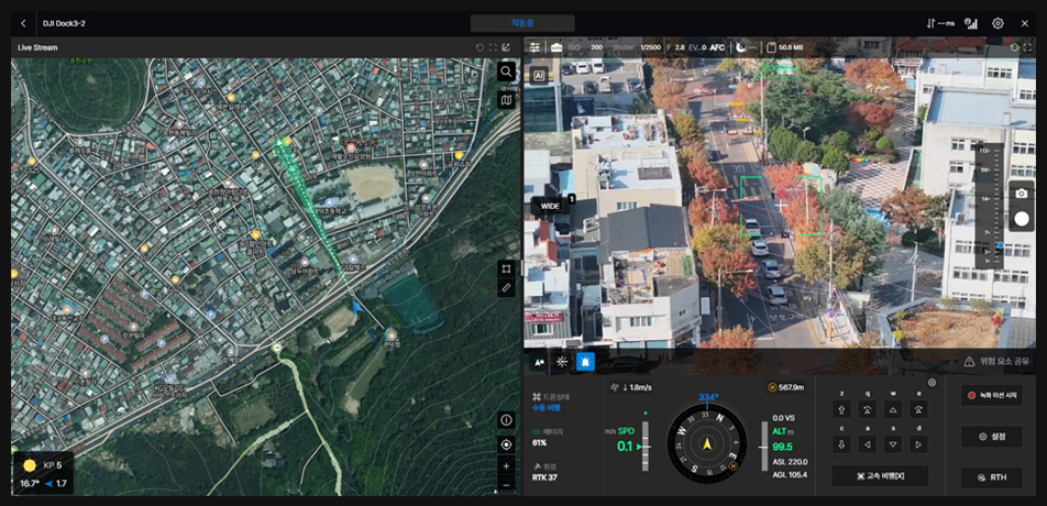
Fly with the map, camera feed and aircraft status overlaid.
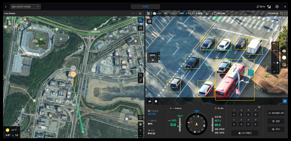
Check the flight environment on a base map.
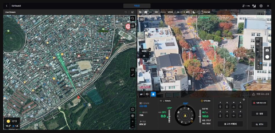
Watch video from multiple drones in an automatic layout.
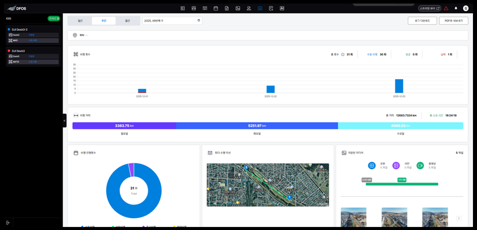
Review flight records by period.
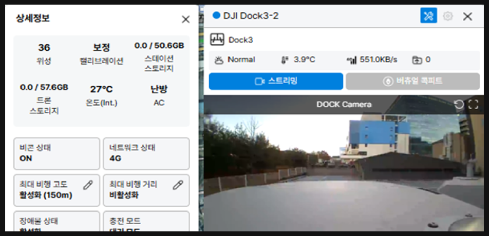
See detailed dock and aircraft status.
On schedule or on command from the control room, the dock opens and the drone takes off.
The drone flies the mission route, captures imagery and streams video in real time.
After the mission, it lands precisely on the dock and recharges automatically.
Captured data goes to IMS and Panorama and becomes finished output.
Works with DJI docks and industrial Matrice aircraft. We confirm your existing equipment during consultation.
Control multiple drones from one screen
DataLarge drone imagery, from upload to analysis
DataRecord sites as they are in 360° panoramas
ControlA multi-viewer for live video from many sites
ControlDrone weather and go/no-go flight decisions
FieldA flight app for sites without a station
Tell us the installation site and your goals, and we will propose a deployment type and configuration.