
FlySpot Control System
A control system that lets agencies running multiple drones manage aircraft, track their status and control them remotely from one screen.
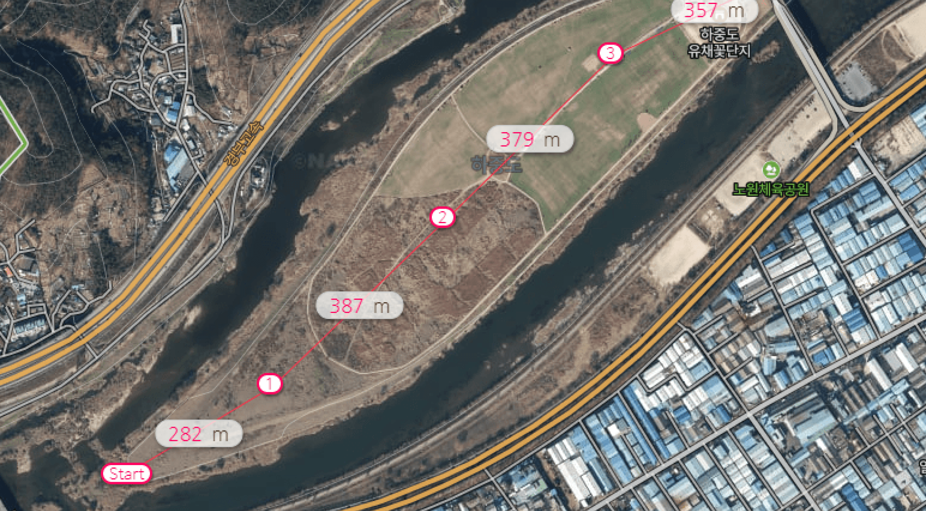
From drone management to status tracking, all at once
Includes drone management, monitoring and control, easy connection and remote control.
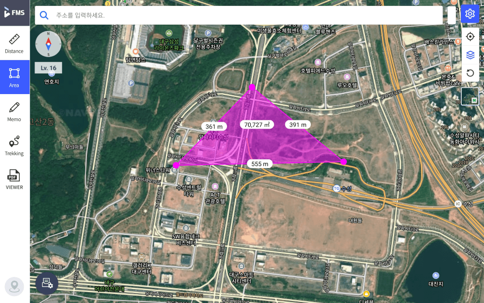
Base maps and location search
Standard and satellite maps from NAVER and V World make drone positions easy to see. Jump to any place with POI search.
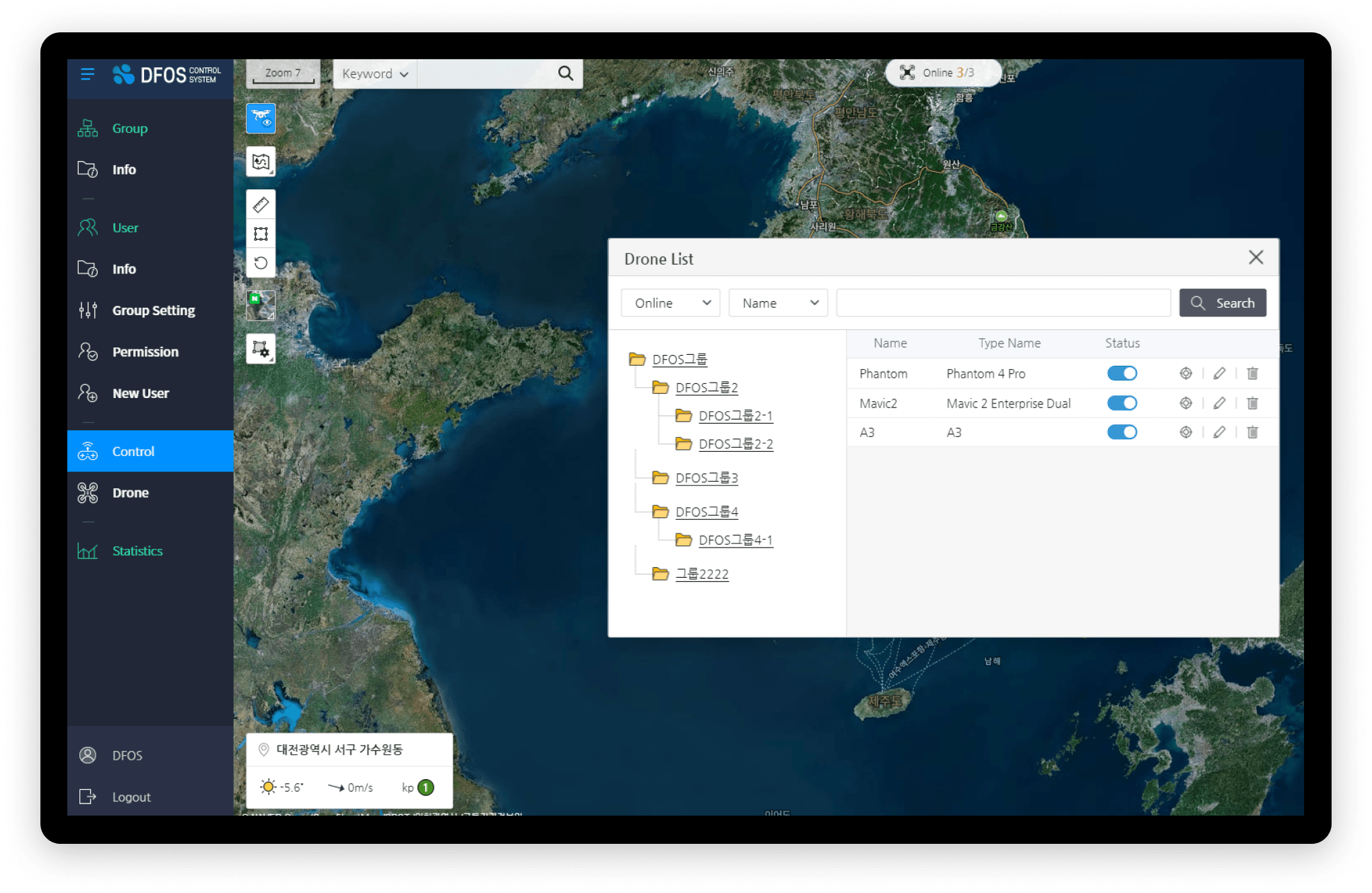
Aircraft management and remote control
View aircraft in flight on the map individually or in groups, check their status and information, and control them remotely.
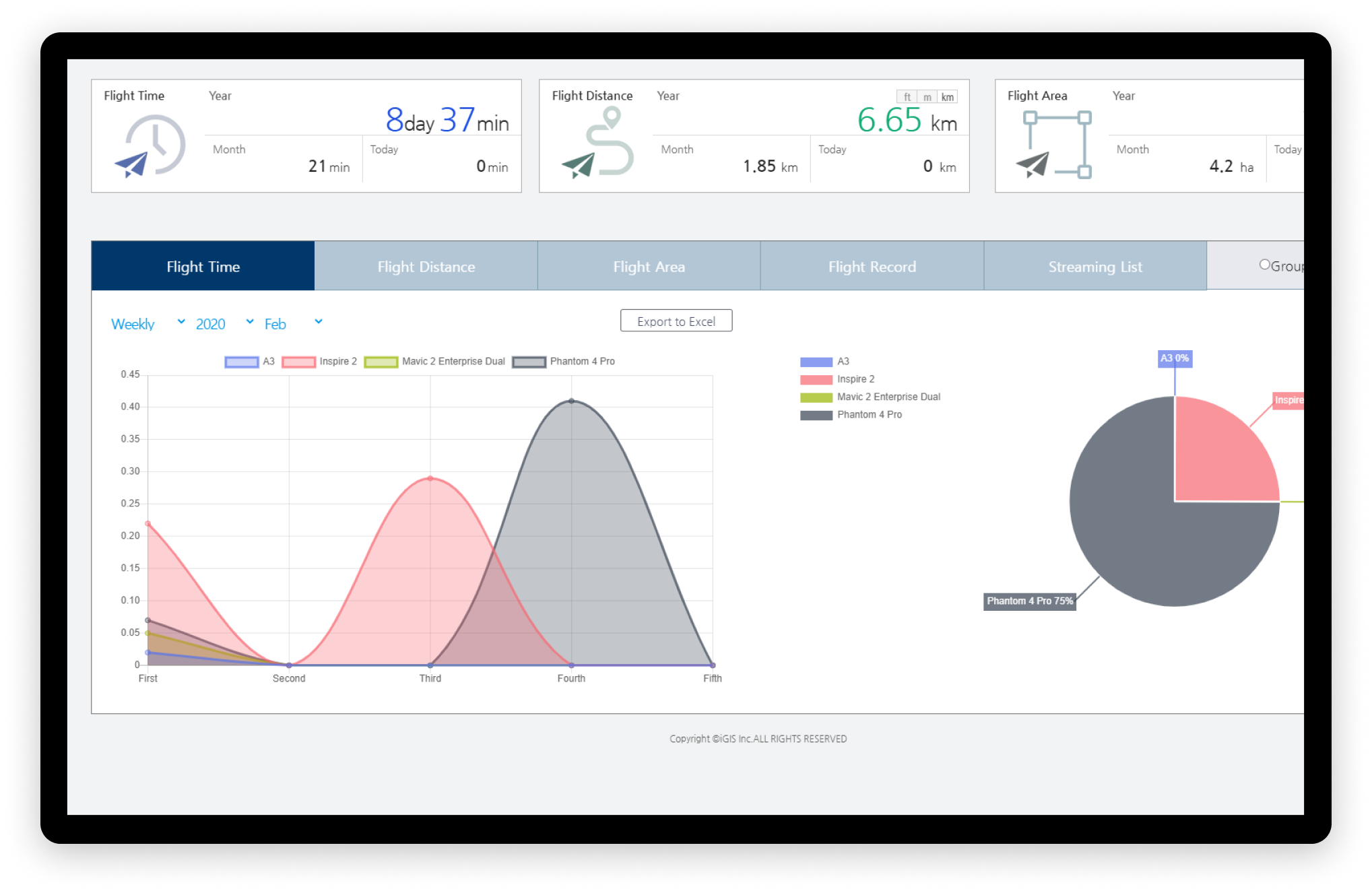
Flight statistics
Review flight time, area and distance for each aircraft after its flight.
Fly easily with a range of missions
Create missions and use spatial data to prepare the flight environment.
WayPoint missions
- Set the flight path with multiple waypoints
- Create and edit missions
Grid and Polygon missions
- Target a polygon of a given area
- Automatic flight path generation
Interval missions
- Capture by time or distance interval
- Edit with mission creation options
Spatial data
- Automatic missions from KML and SHP files
- Mission download
With the Station
 With the Station
Direct automated flights from Stations at multiple sites, together with other drones, from one control screen.
Other solutions
FlySpot Station
A drone station that dispatches with no one on site
DataFlySpot IMS
Large drone imagery, from upload to analysis
DataFlySpot Panorama
Record sites as they are in 360° panoramas
ControlFlySpot Streaming Viewer
A multi-viewer for live video from many sites
ControlFlySpot Weather
Drone weather and go/no-go flight decisions
FieldFlySpot Pilot
A flight app for sites without a station